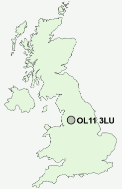
Postcode : OL11 3LU, Marland, Rochdale, Greater Manchester
Matthew Moss Lane, Rochdale.
OL11 3LU close to Marland, Sudden and Castleton.
Classification
OL11 3LU : Hard-pressed living / Hard pressed ageing workers / Ageing industrious workers
Local Authority Rochdale
Primary Care Trust Heywood, Middleton and Rochdale
Ward Castleton
Constituency Heywood and Middleton
Region North West
Country England
Postcode Area OL : Oldham
OL11 Postcode Sectors
OL11 3LU Nearby Postcode Districts
BB3 BL0 BL1 BL2 BL3 BL4 BL5 BL6 BL7 BL8 BL9 HD3 HD4 HD7 HD9 HX4 HX5 HX6 M24 M25 M26 M27 M28 M29 M35 M38 M40 M45 M46 M7 M8 M9 OL1 OL10 OL11 OL12 OL13 OL15 OL16 OL2 OL3 OL4 OL5 OL8 OL9 WN2
Stations near to OL11 3LU
Castleton (Manchester) Rail Station about 0.77 miles away.Rochdale Rail Station about 1.57 miles away.
Mills Hill (Manchester) Rail Station about 3.52 miles away.
OL11 3LU Schools
Matthew Moss High SchoolBrimrod Community Primary School
Sandbrook Community Primary School
Oulder Hill Community School and Language College
Harwood Park Primary School
Hopwood Community Primary School
Broadfield Community Primary School
Balderstone Technology College
Siddal Moor Sports College
Falinge Park High School
UK Search
Antique Furniture
1000s of pieces of Antique Furniture for sale from British antique dealers.