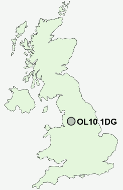
Postcode : OL10 1DG, Heywood, Rochdale, Greater Manchester
Hardfield Street, Heywood.
OL10 1DG close to Captain Fold, Hooley Brow, Crimble, Hopwood, Broadfield and Heady Hill.
Classification
OL10 1DG : Constrained city dwellers / Challenged diversity / Hampered aspiration
Local Authority Rochdale
Primary Care Trust Heywood, Middleton and Rochdale
Ward North Heywood
Constituency Heywood and Middleton
Region North West
Country England
Postcode Area OL : Oldham
OL10 Postcode Sectors
OL10 1DG Nearby Postcode Districts
BL0 BL1 BL2 BL3 BL4 BL5 BL6 BL7 BL8 BL9 HD3 HD7 HX4 HX5 M24 M25 M26 M27 M28 M29 M35 M38 M40 M45 M46 M6 M7 M8 M9 OL1 OL10 OL11 OL12 OL15 OL16 OL2 OL3 OL4 OL5 OL6 OL8 OL9 PR6 WN2 WN7
Stations near to OL10 1DG
Castleton (Manchester) Rail Station about 1.54 miles away.Mills Hill (Manchester) Rail Station about 3.3 miles away.
OL10 1DG Schools
Harwood Park Primary SchoolHopwood Community Primary School
Siddal Moor Sports College
Matthew Moss High School
Heywood Community High School
St Anne's Church of England Academy
St Anne's Church of England Academy
Marland Hill Community Primary School
UK Search
Antique Furniture
1000s of pieces of Antique Furniture for sale from British antique dealers.