Postcode : WV4 4LU, Penn, Wolverhampton, West Midlands
Warstones Road, Penn, Wolverhampton.
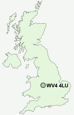
WV4 4LU close to Penn and Spring Hill.
Classification
WV4 4LU : Hard-pressed living / Migration and churn / Hard-pressed ethnic mix
Local Authority Wolverhampton
Primary Care Trust Wolverhampton City
Ward Penn
Constituency Wolverhampton South West
Region West Midlands
Country England
Postcode Area WV : Wolverhampton
WV4 Postcode Sectors
WV4 4LU Nearby Postcode Districts
B1 B10 B16 B18 B19 B2 B20 B21 B23 B24 B3 B33 B34 B35 B36 B4 B42 B43 B44 B5 B6 B64 B65 B66 B67 B68 B69 B7 B70 B71 B72 B73 B74 B75 B76 B8 B9 DY1 DY2 DY3 DY4 DY5 DY6 TF11 TF12 TF3 TF4 TF7 TF8 WS1 WS10 WS14 WS2 WS3 WS4 WS5 WS6 WS8 WS9 WV1 WV10 WV11 WV12 WV13 WV14 WV15 WV16 WV2 WV3 WV4 WV5 WV6 WV7 WV8 WV9
Stations near to WV4 4LU
Wolverhampton Rail Station about 2.32 miles away.WV4 4LU Schools
Warstones Primary SchoolHighfields Science Specialist School
Uplands Junior School
Bhylls Acre Primary School
Merridale Primary School
Smestow School
Colton Hills Community School
UK Search
Antique Furniture
1000s of pieces of Antique Furniture for sale from British antique dealers.