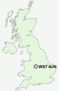
Postcode : WS7 4UN, Chasetown, Staffordshire
Mossbank Avenue, Burntwood.
WS7 4UN close to Chasetown, Burntwood, Chase Terrace, Gorstey Ley and Triangle.
Classification
WS7 4UN : Hard-pressed living / Industrious communities / Industrious transitions
Local Authority Lichfield
Primary Care Trust South Staffordshire
Ward Summerfield & All Saints
Constituency Lichfield
Region West Midlands
Country England
Postcode Area WS : Walssal
WS7 Postcode Sectors
WS7 4UN Nearby Postcode Districts
B74 B75 B77 B78 B79 CV9 DE11 DE12 ST19 WS1 WS11 WS12 WS13 WS14 WS15 WS2 WS3 WS4 WS6 WS7 WS8 WS9 WV1 WV10 WV11 WV12 WV13 WV3 WV6 WV7 WV8 WV9
WS7 4UN Schools
Springhill Primary SchoolChase Terrace Technology College
Ridgeway Primary School
Highfields Primary School
Chase Terrace Primary School
Fulfen Primary School
Boney Hay Primary School
Holly Grove Primary School
Watling Street Primary School
UK Search
Antique Furniture
1000s of pieces of Antique Furniture for sale from British antique dealers.