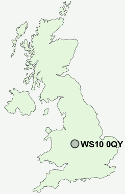
Postcode : WS10 0QY, Darlaston, Sandwell, West Midlands
Wednesbury, West Midlands, England.
WS10 0QY close to Wednesbury, Mesty Croft, The Woods, Friar Park, Stone Cross and Church Hill.
Classification
WS10 0QY : Constrained city dwellers / Challenged diversity / Multi-ethnic hardship
Local Authority Sandwell
Primary Care Trust Sandwell
Ward Friar Park
Constituency West Bromwich East
Region West Midlands
Country England
Postcode Area WS : Walssal
WS10 Postcode Sectors
WS10 8 Darlaston, Darlaston Green, The Lunt, Woods Bank
WS10 0QY Nearby Postcode Districts
B1 B10 B11 B12 B15 B16 B17 B18 B19 B2 B20 B21 B23 B24 B25 B26 B3 B33 B34 B35 B36 B37 B4 B40 B42 B43 B44 B46 B5 B6 B62 B64 B65 B66 B67 B68 B69 B7 B70 B71 B72 B73 B74 B75 B76 B77 B78 B79 B8 B9 DY1 DY2 DY3 DY4 DY5 DY6 DY7 DY8 WS1 WS10 WS2 WS3 WS4 WS5 WS8 WS9 WV1 WV10 WV11 WV12 WV13 WV14 WV15 WV2 WV3 WV4 WV5 WV6 WV7 WV8 WV9
Stations near to WS10 0QY
Bescot Stadium Rail Station about 0.96 miles away.Tame Bridge Parkway Rail Station about 1.3 miles away.
Walsall Rail Station about 2.35 miles away.
Dudley Port Rail Station about 2.66 miles away.
Sandwell & Dudley Rail Station about 3.09 miles away.
The Hawthorns Rail Station about 3.77 miles away.
WS10 0QY Schools
Joseph Leckie Community Technology CollegePalfrey Junior School
Palfrey Infant School
Delves Infant School
Whitehall Junior Community School
George Salter Academy
UK Search
Antique Furniture
1000s of pieces of Antique Furniture for sale from British antique dealers.