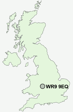
Postcode : WR9 9EQ, Droitwich, Worcestershire
Farmers Way, Droitwich, Worcestershire.
WR9 9EQ close to Westlands, Newtown, Berry Hill, Hampton Lovett and Chawson.
Classification
WR9 9EQ : Hard-pressed living / Migration and churn / Hard-Pressed European Settlers
Local Authority Wychavon
Primary Care Trust Worcestershire
Ward Droitwich West
Constituency Mid Worcestershire
Region West Midlands
Country England
Postcode Area WR : Worcester
WR9 Postcode Sectors
WR9 0 Battenton Green, Boreley, Broad Alley, Broad Common, Bryan's Green
WR9 9 Berry Hill, Droitwich, Newtown, Westlands
WR9 9 Berry Hill, Droitwich, Newtown, Westlands
WR9 9EQ Nearby Postcode Districts
B48 B49 B60 B61 B80 B94 B95 B96 B97 B98 DY13 HR7 WR1 WR2 WR3 WR4 WR5 WR6 WR7 WR9
Stations near to WR9 9EQ
Droitwich Spa Rail Station about 0.57 miles away.WR9 9EQ Schools
Westlands First SchoolDroitwich Spa High School
Westacre Middle School
St Joseph's Catholic Primary School
Dodderhill School
Chawson First School
Witton Middle School
St Peter's CofE First School
UK Search
Antique Furniture
1000s of pieces of Antique Furniture for sale from British antique dealers.