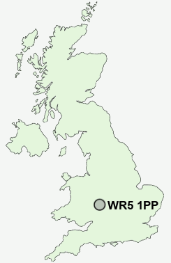
Postcode : WR5 1PP, Ronkswood, Worcester, Worcestershire
Saint Albans Close, Worcester.
WR5 1PP close to Ronkswood and Red Hill.
Classification
WR5 1PP : Hard-pressed living / Hard pressed ageing workers / Ageing industrious workers
Local Authority Worcester
Primary Care Trust Worcestershire
Ward Nunnery
Constituency Worcester
Region West Midlands
Country England
Postcode Area WR : Worcester
WR5 Postcode Sectors
WR5 3 Baynhall, Brook End, Draycott, Green Street, Kempsey
WR5 2 Cherry Orchard, Hatfield, Littleworth, Norton, Red Hill
WR5 2 Cherry Orchard, Hatfield, Littleworth, Norton, Red Hill
WR5 1PP Nearby Postcode Districts
B49 B50 B80 B96 HR7 WR1 WR10 WR11 WR13 WR14 WR2 WR3 WR4 WR5 WR6 WR7 WR9
Stations near to WR5 1PP
Worcester Shrub Hill Rail Station about 0.71 miles away.Worcester Foregate Street Rail Station about 1.23 miles away.
WR5 1PP Schools
Perry Wood Primary and Nursery SchoolNunnery Wood Primary School
Gorse Hill Community Primary School
Worcester, Nunnery Wood High School
Lyppard Grange Primary School
Stanley Road Primary School
The Fairfield Community Primary School
Warndon Primary School
Cherry Orchard Primary School
Worcester, Cranham Primary School
Elgar Technology College
Perdiswell Primary School
UK Search
Antique Furniture
1000s of pieces of Antique Furniture for sale from British antique dealers.