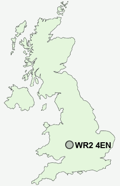
Postcode : WR2 4EN, Worcester, Hereford And Worcester
Bransford Road, Worcester.
WR2 4EN close to St John's, Wick Episcopi, Diglis and Upper Wick.
Classification
WR2 4EN : Urbanites / Urban professionals and families / Families in terraces and flats
Local Authority Worcester
Primary Care Trust Worcestershire
Ward St John
Constituency Worcester
Region West Midlands
Country England
Postcode Area WR : Worcester
WR2 Postcode Sectors
WR2 4 Bastonford, Bowling Green, Brayswick, Callow End, Collett's Green
WR2 5 Broadmore Green, Crown East, Rushwick, St John's, Upper Wick
WR2 5 Broadmore Green, Crown East, Rushwick, St John's, Upper Wick
WR2 4EN Nearby Postcode Districts
B49 B50 B80 B96 HR7 WR1 WR10 WR11 WR13 WR14 WR2 WR3 WR4 WR5 WR6 WR7 WR9
Stations near to WR2 4EN
Worcester Foregate Street Rail Station about 0.85 miles away.Worcester Shrub Hill Rail Station about 1.27 miles away.
WR2 4EN Schools
Christopher Whitehead Language CollegePitmaston Primary School
Oldbury Park Primary School
Dines Green Primary School
Stanley Road Primary School
Cherry Orchard Primary School
Gorse Hill Community Primary School
Worcester, Northwick Manor Infants' School
Worcester, Northwick Manor Junior School
Perdiswell Primary School
UK Search
Antique Furniture
1000s of pieces of Antique Furniture for sale from British antique dealers.