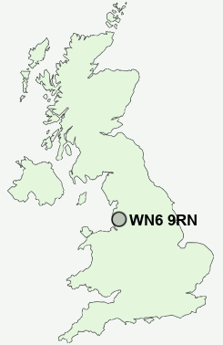
Postcode : WN6 9RN, Mossy Lea, Wigan, Lancashire
Mossy Lea Road, Wrightington, Wigan.
WN6 9RN close to Mossy Lea, Wrightington Bar, Hunger Hill and Robin Hood.
Classification
WN6 9RN : Rural residents / Rural tenants / Ageing rural flat tenants
Local Authority West Lancashire
Primary Care Trust Central Lancashire
Ward Wrightington
Constituency West Lancashire
Region North West
Country England
Postcode Area WN : Wigan
WN6 Postcode Sectors
WN6 9 Appley Bridge, Dangerous Corner, High Moor, Hunger Hill, Mossy Lea
WN6 8 Beech Hill, Crooke, Gathurst, Shevington, Standish Lower Ground
WN6 8 Beech Hill, Crooke, Gathurst, Shevington, Standish Lower Ground
WN6 9RN Nearby Postcode Districts
BB3 BL0 BL1 BL2 BL3 BL4 BL5 BL6 BL7 BL8 L31 L37 L38 L39 L40 M26 M27 M28 M38 M46 PR25 PR26 PR6 PR7 PR8 PR9 WN1 WN2 WN3 WN5 WN6 WN8
Stations near to WN6 9RN
Appley Bridge Rail Station about 2.18 miles away.Gathurst Rail Station about 3.4 miles away.
WN6 9RN Schools
Wrightington Mossy Lea Primary SchoolSt Joseph's Catholic Primary School, Wrightington
St Oswald's Catholic Primary School, Coppull
Standish Community High School
Coppull Primary School and Nursery
Shevington Vale Primary School
UK Search
Antique Furniture
1000s of pieces of Antique Furniture for sale from British antique dealers.