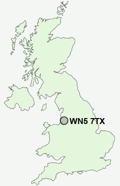
Postcode : WN5 7TX, Billinge, Wigan, Merseyside
Carr Mill Road, Billinge, Wigan.
WN5 7TX close to Chadwick Green and Laffak.
Classification
WN5 7TX : Suburbanites / Semi-detached suburbia / White suburban communities
Local Authority St. Helens
Primary Care Trust Halton and St Helens
Ward Billinge and Seneley Green
Constituency St Helens North
Region North West
Country England
Postcode Area WN : Wigan
WN5 Postcode Sectors
WN5 7 Billinge, Brownlow, Chadwick Green, Higher End, Laffak
WN5 8 Far Moor, Lamberhead Green, Orrell, Orrell Post, Tontine
WN5 8 Far Moor, Lamberhead Green, Orrell, Orrell Post, Tontine
WN5 7TX Nearby Postcode Districts
BL2 BL3 BL4 BL5 CH41 CH44 CH45 L1 L10 L11 L12 L13 L14 L15 L16 L2 L20 L21 L22 L23 L28 L29 L3 L30 L31 L32 L33 L34 L35 L36 L37 L38 L39 L4 L5 L6 L69 L7 L70 L8 L9 M17 M26 M27 M28 M29 M30 M31 M33 M38 M41 M44 M46 WA1 WA10 WA11 WA12 WA2 WA3 WA5 WA9 WN1 WN2 WN3 WN4 WN5 WN6 WN7 WN8
Stations near to WN5 7TX
Garswood Rail Station about 1.54 miles away.St Helens Central Rail Station about 2.66 miles away.
Orrell Rail Station about 2.82 miles away.
Upholland Rail Station about 2.99 miles away.
Pemberton Rail Station about 3.25 miles away.
WN5 7TX Schools
Chapel End Primary SchoolCarr Mill Primary School
Garswood Primary School
Ashurst Primary School
Legh Vale Primary School
UK Search
Antique Furniture
1000s of pieces of Antique Furniture for sale from British antique dealers.