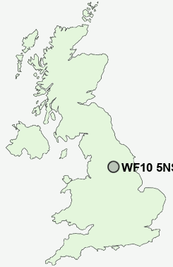
Postcode : WF10 5NS, Whitwood, Wakefield, West Yorkshire
College Grove, Castleford.
WF10 5NS close to Whitwood, Cutsyke and Castleford.
Classification
WF10 5NS : Hard-pressed living / Industrious communities / Industrious hardship
Local Authority Wakefield
Primary Care Trust Wakefield District
Ward Altofts and Whitwood
Constituency Normanton, Pontefract and Castleford
Region Yorkshire and The Humber
Country England
Postcode Area WF : Wakefield
WF10 Postcode Sectors
WF10 3 Airedale, Red Hill
WF10 2 Allerton Bywater, Ledston, New Fryston, Water Fryston, Wheldale
WF10 1 Castleford
WF10 2 Allerton Bywater, Ledston, New Fryston, Water Fryston, Wheldale
WF10 1 Castleford
WF10 5NS Nearby Postcode Districts
BD1 BD11 BD12 BD19 BD2 BD3 BD4 BD5 HD2 HD5 LS1 LS10 LS11 LS12 LS13 LS15 LS2 LS25 LS26 LS27 LS28 LS3 LS4 LS9 WF1 WF10 WF11 WF12 WF13 WF14 WF15 WF16 WF17 WF2 WF3 WF4 WF5 WF6 WF7 WF8 YO8
Stations near to WF10 5NS
Castleford Rail Station about 0.96 miles away.Glasshoughton Rail Station about 1.47 miles away.
Normanton Rail Station about 2.29 miles away.
Featherstone Rail Station about 2.73 miles away.
Streethouse Rail Station about 3.02 miles away.
WF10 5NS Schools
Ackton Pastures Primary SchoolCastleford Three Lane Ends Community Primary School
Castleford Half Acres Primary School
Castleford Wheldon Infant School and Nursery
Castleford Park Junior School
Castleford High School Technology College
Castleford Glasshoughton Infant School
Normanton Common Primary School
Methley Primary School
UK Search
Antique Furniture
1000s of pieces of Antique Furniture for sale from British antique dealers.