Postcode : WD25 8NL, High Cross, Hertfordshire
Radlett, Watford, Hertfordshire.
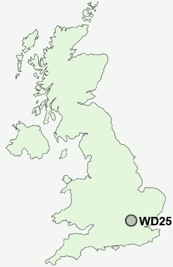
WD25 8NL close to High Cross, Round Bush, Aldenham and Patchetts Green.
Classification
WD25 8NL : Urbanites / Ageing urban living / Communal retirement
Local Authority Hertsmere
Primary Care Trust Hertfordshire
Ward Aldenham West
Constituency Hertsmere
Region Eastern
Country England
Postcode Area WD : Watford
WD25 Postcode Sectors
WD25 8NL Nearby Postcode Districts
AL1 AL10 AL2 AL4 AL9 E17 E18 E4 EN1 EN10 EN11 EN2 EN3 EN4 EN5 EN6 EN7 EN8 EN9 HA1 HA3 HA5 HA6 HA7 HA8 HP1 HP10 HP11 HP13 HP15 HP16 HP2 HP3 HP4 HP5 HP6 HP7 HP8 HP9 IG8 IG9 N10 N11 N12 N13 N14 N15 N17 N18 N2 N20 N21 N22 N3 N8 N9 NW11 NW4 NW7 NW9 SL8 SL9 UB9 WD1 WD17 WD18 WD19 WD2 WD23 WD24 WD25 WD3 WD4 WD5 WD6 WD7
Stations near to WD25 8NL
Radlett Rail Station about 1.36 miles away.Garston (Herts) Rail Station about 1.66 miles away.
Bricket Wood Rail Station about 2.03 miles away.
Bushey Rail Station about 2.74 miles away.
Bushey Rail Station about 2.74 miles away.
How Wood (Herts) Rail Station about 2.81 miles away.
Park Street Rail Station about 3.35 miles away.
Carpenders Park Rail Station about 3.78 miles away.
WD25 8NL Schools
Highwood Primary SchoolNewberries Primary School
Queens' School
Berrygrove Primary and Nursery School
Coates Way JMI and Nursery School
UK Search
Antique Furniture
1000s of pieces of Antique Furniture for sale from British antique dealers.