Postcode : WA8 0EL, Kingsway, Halton, Cheshire
Cholmondeley Street, Widnes.
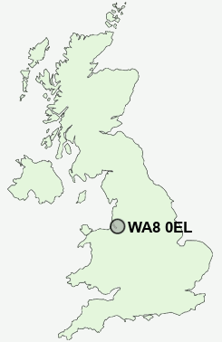
WA8 0EL close to Kingsway and Widnes.
Classification
WA8 0EL : Hard-pressed living / Migration and churn / Hard-pressed ethnic mix
Local Authority Halton
Primary Care Trust Halton and St Helens
Ward Riverside
Constituency Halton
Region North West
Country England
Postcode Area WA : Warrington
WA8 Postcode Sectors
WA8 6 Appleton, Kingsway, Simm's Cross, Widnes
WA8 7 Ball o' Ditton, Hough Green, Lower House
WA8 3 Barrow's Green, Bold Heath, Cuerdley Cross, Shell Green
WA8 5 Cronton, Lunts Heath, Town End
WA8 7 Ball o' Ditton, Hough Green, Lower House
WA8 3 Barrow's Green, Bold Heath, Cuerdley Cross, Shell Green
WA8 5 Cronton, Lunts Heath, Town End
WA8 0 Crow Wood, Halton View, Lugsdale, Moss Bank
WA8 8 Ditton, Hale Bank
WA8 9 Farnworth, Upton Rocks
WA8 4 Upton
WA8 8 Ditton, Hale Bank
WA8 9 Farnworth, Upton Rocks
WA8 4 Upton
WA8 0EL Nearby Postcode Districts
CH41 CH42 CH43 CH44 CH45 CH46 CH49 CH60 CH61 CH62 CH63 CH64 CH65 CH66 CW8 CW9 L1 L11 L12 L13 L14 L15 L16 L17 L18 L19 L2 L24 L25 L26 L27 L28 L3 L34 L35 L36 L4 L5 L6 L69 L7 L70 L8 M31 M44 WA1 WA13 WA14 WA16 WA2 WA4 WA5 WA6 WA7 WA8 WA9
Stations near to WA8 0EL
Runcorn Rail Station about 0.76 miles away.Widnes Rail Station about 2 miles away.
Hough Green Rail Station about 2.24 miles away.
WA8 0EL Schools
West Bank Primary SchoolWestfield Primary School
Simms Cross Primary School
The Grange School
Ditton Primary School
Halton Lodge Primary School
The Heath School
Wade Deacon High School
Fairfield Infant School
The Bankfield School
UK Search
Antique Furniture
1000s of pieces of Antique Furniture for sale from British antique dealers.