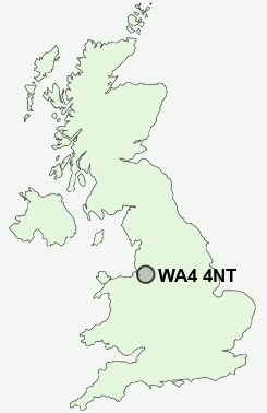
Postcode : WA4 4NT, Stretton, Warrington, Cheshire
Stretton, Warrington.
WA4 4NT close to Stretton, Pewterspear and Lower Stretton.
Classification
WA4 4NT : Rural residents / Rural tenants / Rural white-collar workers
Local Authority Warrington
Primary Care Trust Warrington
Ward Appleton
Constituency Warrington South
Region North West
Country England
Postcode Area WA : Warrington
WA4 Postcode Sectors
WA4 5 Appleton Park, Cobbs, Dudlows Green, Hillcliffe, Moore
WA4 4 Appleton Thorn, Daresbury, Daresbury Delph, Dones Green, Dutton
WA4 2 Grappenhall, Stockton Heath, Thelwall, Wilderspool
WA4 4 Appleton Thorn, Daresbury, Daresbury Delph, Dones Green, Dutton
WA4 2 Grappenhall, Stockton Heath, Thelwall, Wilderspool
WA4 4NT Nearby Postcode Districts
CH65 CH66 CW8 CW9 L12 L13 L14 L15 L16 L17 L18 L19 L24 L25 L26 L27 L28 L34 L35 L36 L4 L6 L7 L70 L8 M19 M20 M21 M22 M23 M31 M33 M90 SK4 SK8 SK9 WA1 WA13 WA14 WA15 WA16 WA2 WA4 WA5 WA6 WA7 WA8 WA9
Stations near to WA4 4NT
Warrington Bank Quay Rail Station about 3.39 miles away.WA4 4NT Schools
Stretton St Matthew's CofE Primary SchoolAppleton Thorn Primary School
Broomfields Junior School
Bridgewater High School
Grappenhall Heys Community Primary School
The Cobbs Infant and Nursery School
Whitley Village School
UK Search
Antique Furniture
1000s of pieces of Antique Furniture for sale from British antique dealers.