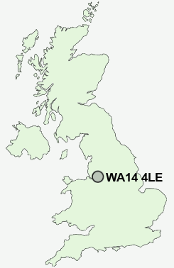
Postcode : WA14 4LE, Altrincham, Trafford, Greater Manchester
Taylor Road, Altrincham, Greater Manchester.
WA14 4LE close to Hale, Oldfield Brow and Dunham Town.
Classification
WA14 4LE : Hard-pressed living / Migration and churn / Hard-pressed ethnic mix
Local Authority Trafford
Primary Care Trust Trafford
Ward Altrincham
Constituency Altrincham and Sale West
Region North West
Country England
Postcode Area WA : Warrington
WA14 Postcode Sectors
WA14 5 Broadheath, Dunham Woodhouses, Sinderland Green
WA14 4 Dunham Town, Little Bollington, Oldfield Brow
WA14 4 Dunham Town, Little Bollington, Oldfield Brow
WA14 4LE Nearby Postcode Districts
M1 M11 M12 M13 M14 M15 M16 M17 M18 M19 M2 M20 M21 M22 M23 M3 M30 M31 M32 M33 M34 M4 M41 M43 M44 M5 M60 M90 OL7 SK1 SK12 SK14 SK15 SK16 SK2 SK22 SK3 SK4 SK5 SK6 SK7 SK8 SK9 WA1 WA10 WA11 WA12 WA13 WA14 WA15 WA16 WA2 WA3 WA4 WA5 WA7 WA8 WA9
Stations near to WA14 4LE
Altrincham Rail Station about 1.3 miles away.Navigation Road Rail Station about 1.44 miles away.
Hale Rail Station about 1.54 miles away.
Ashley Rail Station about 2.91 miles away.
WA14 4LE Schools
Oldfield Brow Primary SchoolBroadheath Primary School
Navigation Primary School
Bollin Primary School
Stamford Park Junior School
Stamford Park Infant School
Cherry Manor Primary School
Park Road Primary School
Tyntesfield Primary School
UK Search
Antique Furniture
1000s of pieces of Antique Furniture for sale from British antique dealers.