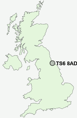
Postcode : TS6 8AD, Eston, Redcar And Cleveland, North Yorkshire
Middlesbrough, Redcar and Cleveland, England.
TS6 8AD close to Eston, Normanby, Lackenby, Teesville and Grangetown.
Classification
TS6 8AD : Hard-pressed living / Challenged terraced workers / Hard pressed rented terraces
Local Authority Redcar and Cleveland
Primary Care Trust Redcar and Cleveland
Ward Teesville
Constituency Redcar
Region North East
Country England
Postcode Area TS : Stockton on Tees
TS6 Postcode Sectors
TS6 8AD Nearby Postcode Districts
DL1 TS1 TS10 TS11 TS12 TS13 TS14 TS15 TS16 TS17 TS18 TS19 TS2 TS20 TS21 TS22 TS23 TS25 TS3 TS4 TS5 TS6 TS7 TS8 TS9
Stations near to TS6 8AD
South Bank Rail Station about 1.89 miles away.Gypsy Lane Rail Station about 2.75 miles away.
Nunthorpe Rail Station about 2.87 miles away.
British Steel Redcar Rail Station about 3.24 miles away.
TS6 8AD Schools
Whale Hill Primary SchoolGrangetown Primary School
Bankfields Primary School
Gillbrook College
Ravensworth Junior School
Teesville Primary School
Normanby Primary School
Wilton Primary School
South Bank Community Primary School
Ormesby School
Pennyman Primary School
UK Search
Antique Furniture
1000s of pieces of Antique Furniture for sale from British antique dealers.