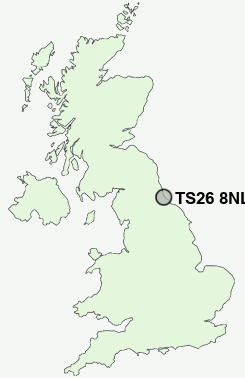
Postcode : TS26 8NL, Hartlepool, County Durham
Hart Lane, Hartlepool.
TS26 8NL close to High Throston and West Park.
Classification
TS26 8NL : Hard-pressed living / Hard pressed ageing workers / Ageing industrious workers
Local Authority Hartlepool
Primary Care Trust Hartlepool
Ward Victoria
Constituency Hartlepool
Region North East
Country England
Postcode Area TS : Stockton on Tees
TS26 Postcode Sectors
TS26 8NL Nearby Postcode Districts
DH1 DH6 DL16 DL17 DL5 SR8 TS10 TS21 TS22 TS23 TS24 TS25 TS26 TS27 TS28 TS29
Stations near to TS26 8NL
Hartlepool Rail Station about 1.01 miles away.Seaton Carew Rail Station about 2.56 miles away.
TS26 8NL Schools
Lynnfield Primary SchoolThroston Primary School
Eldon Grove Primary School
West Park Primary School
West View Primary School
Stranton Primary School
Kingsley Primary School
Rift House Primary School
Clavering Primary School
Brierton Community School (A Specialist Sports College)
UK Search
Antique Furniture
1000s of pieces of Antique Furniture for sale from British antique dealers.