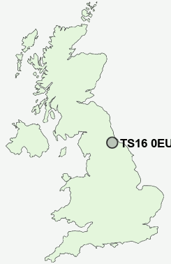
Postcode : TS16 0EU, Stockton-on-Tees, Stockton-on-tees
Butterfield Drive, Eaglescliffe, Stockton-on-Tees.
TS16 0EU close to Egglescliffe, Urlay Nook and Eaglescliffe.
Classification
TS16 0EU : Suburbanites / Semi-detached suburbia / Semi-detached ageing
Local Authority Stockton-on-Tees
Primary Care Trust Stockton-on-Tees Teaching
Ward Eaglescliffe
Constituency Stockton South
Region North East
Country England
Postcode Area TS : Stockton on Tees
TS16 Postcode Sectors
TS16 0EU Nearby Postcode Districts
DL1 DL2 DL3 DL5 TS1 TS10 TS11 TS12 TS14 TS15 TS16 TS17 TS18 TS19 TS2 TS20 TS22 TS23 TS3 TS4 TS5 TS6 TS7 TS8 TS9
Stations near to TS16 0EU
Allens West Rail Station about 0.29 miles away.Eaglescliffe Rail Station about 0.67 miles away.
Yarm Rail Station about 1.88 miles away.
Stockton Rail Station about 3.71 miles away.
TS16 0EU Schools
Junction Farm Primary SchoolDurham Lane Primary School
The Links Primary School
Egglescliffe School
Preston Primary School
Yarm Primary School
Levendale Primary School
Layfield Primary School
Conyers School
UK Search
Antique Furniture
1000s of pieces of Antique Furniture for sale from British antique dealers.