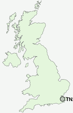
Postcode : TN27 0QS, Pluckley, Kent
Pluckley, Ashford, Kent.
TN27 0QS close to Pluckley, Fir Toll and Pluckley Thorne.
Classification
TN27 0QS : Rural residents / Rural tenants / Rural white-collar workers
Local Authority Ashford
Primary Care Trust Eastern and Coastal Kent
Ward Weald Central
Constituency Ashford
Region South East
Country England
Postcode Area TN : Tonbridge
TN27 Postcode Sectors
TN27 0 Barnfield, Chamber's Green, Charing, Charing Heath, Charing Hill
TN27 8 Biddenden, Biddenden Green, Clapper Hill, Curteis' Corner, Fosten Green
TN27 8 Biddenden, Biddenden Green, Clapper Hill, Curteis' Corner, Fosten Green
TN27 0QS Nearby Postcode Districts
CT18 CT4 ME15 ME16 ME17 ME18 TN12 TN17 TN23 TN24 TN25 TN26 TN27
Stations near to TN27 0QS
Pluckley Rail Station about 1.33 miles away.Charing (Kent) Rail Station about 2.77 miles away.
TN27 0QS Schools
Pluckley Church of England Primary SchoolEgerton Church of England Primary School
UK Search
Antique Furniture
1000s of pieces of Antique Furniture for sale from British antique dealers.