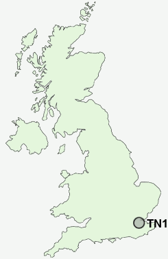
Postcode : TN15 7PH, Stansted, Kent
Stansted, Sevenoaks, Kent.
TN15 7PH close to Stansted, Pettings and Ridley.
Classification
TN15 7PH : Rural residents / Rural tenants / Rural white-collar workers
Local Authority Tonbridge and Malling
Primary Care Trust West Kent
Ward Wrotham, Ightham and Stansted
Constituency Tonbridge and Malling
Region South East
Country England
Postcode Area TN : Tonbridge
TN15 Postcode Sectors
TN15 7 Ash, Fairseat, Hodsoll Street, New Street, Pettings
TN15 8 Basted, Borough Green, Claygate Cross, Comp, Crouch
TN15 0 Bitchet Green, Godden Green, Ivy Hatch, Lower Bitchet, Plaxtol
TN15 8 Basted, Borough Green, Claygate Cross, Comp, Crouch
TN15 0 Bitchet Green, Godden Green, Ivy Hatch, Lower Bitchet, Plaxtol
TN15 6 Childsbridge, Crowdleham, East Hill, Heaverham, Kemsing
TN15 9 Ightham, Ightham Common, Oldbury
TN15 9 Ightham, Ightham Common, Oldbury
TN15 7PH Nearby Postcode Districts
BR1 BR2 BR3 BR4 BR5 BR6 BR7 BR8 CR0 CR2 CR3 CR6 DA11 DA12 DA13 DA14 DA2 DA3 DA4 ME1 ME14 ME15 ME16 ME18 ME19 ME2 ME20 ME3 ME4 ME5 ME6 ME7 ME8 RH8 SE19 SE20 SE25 SE26 TN13 TN14 TN15 TN16
Stations near to TN15 7PH
Borough Green & Wrotham Rail Station about 3.04 miles away.TN15 7PH Schools
Stansted Church of England Primary SchoolCulverstone Green Primary School
Fawkham House School
St George's Church of England Voluntary Controlled Primary School
UK Search
Antique Furniture
1000s of pieces of Antique Furniture for sale from British antique dealers.