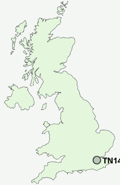
Postcode : TN14 6EA, Sundridge, Kent
Church Lane, Sundridge, Sevenoaks.
TN14 6EA close to Sundridge and Dryhill.
Classification
TN14 6EA : Urbanites / Urban professionals and families / Multi-ethnic professionals with families
Local Authority Sevenoaks
Primary Care Trust West Kent
Ward Brasted, Chevening and Sundridge
Constituency Sevenoaks
Region South East
Country England
Postcode Area TN : Tonbridge
TN14 Postcode Sectors
TN14 7 Badgers Mount, Cudham, Halstead, Hazelwood, Horns Green
TN14 6 Bayley's Hill, Chevening, Cooper's Corner, Cross Keys, Dryhill
TN14 6 Bayley's Hill, Chevening, Cooper's Corner, Cross Keys, Dryhill
TN14 6EA Nearby Postcode Districts
BR6 CR0 CR2 CR3 CR5 CR6 CR8 KT17 KT18 KT19 KT20 ME1 ME16 ME18 ME19 ME20 ME6 RH1 RH2 RH8 RH9 SM1 SM2 SM3 SM5 SM6 SM7 TN10 TN11 TN13 TN14 TN15 TN16 TN8 TN9
Stations near to TN14 6EA
Dunton Green Rail Station about 2.42 miles away.TN14 6EA Schools
Sundridge and Brasted Church of England Voluntary Controlled Primary SchoolRadnor House Sevenoaks School
Chevening, St Botolph's Church of England Voluntary Aided Primary School
Amherst School
Ide Hill Church of England Primary School
UK Search
Antique Furniture
1000s of pieces of Antique Furniture for sale from British antique dealers.