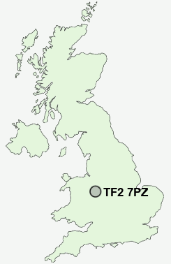
Postcode : TF2 7PZ, Donnington Wood, Telford And Wrekin, Shropshire
Telford, Shropshire, England.
TF2 7PZ close to Donnington Wood, Donnington, Muxton, Oakengates, Wrockwardine Wood and Trench.
Classification
TF2 7PZ : Urbanites / Urban professionals and families / Families in terraces and flats
Local Authority Telford and Wrekin
Primary Care Trust Telford and Wrekin
Ward Muxton
Constituency The Wrekin
Region West Midlands
Country England
Postcode Area TF : Telford
TF2 Postcode Sectors
TF2 7PZ Nearby Postcode Districts
ST16 ST17 ST19 ST20 SY1 SY2 SY3 SY4 SY5 TF1 TF10 TF11 TF2 TF3 TF4 TF5 TF6 TF7 TF8 WV10 WV7 WV8 WV9
Stations near to TF2 7PZ
Oakengates Rail Station about 1.65 miles away.Telford Central Rail Station about 2.3 miles away.
TF2 7PZ Schools
Donnington Wood Infant School and Nursery CentreMuxton Primary School
The Sutherland School
Wrockwardine Wood Infant School and Nursery
Wrockwardine Wood Arts College
Teagues Bridge Primary School
Redhill Primary School
Wombridge Primary School
Priorslee Primary School
UK Search
Antique Furniture
1000s of pieces of Antique Furniture for sale from British antique dealers.