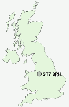
Postcode : ST7 8PH, Alsager, Staffordshire, Cheshire
Apedale Road, Wood Lane, Stoke-on-Trent.
ST7 8PH close to Butters Green, Wood Lane, Miles Green, Boon Hill, Alsagers Bank and Bignall End.
Classification
ST7 8PH : Suburbanites / Semi-detached suburbia / White suburban communities
Local Authority Newcastle-under-Lyme
Primary Care Trust North Staffordshire
Ward Audley and Bignall End
Constituency Newcastle-under-Lyme
Region West Midlands
Country England
Postcode Area ST : Stoke on Trent
ST7 Postcode Sectors
ST7 4 Acres Nook, Dales Green, Harriseahead, Newchapel, Packmoor
ST7 2 Alsager, Lawton Heath End
ST7 8 Alsagers Bank, Audley, Bignall End, Boon Hill, Butters Green
ST7 2 Alsager, Lawton Heath End
ST7 8 Alsagers Bank, Audley, Bignall End, Boon Hill, Butters Green
ST7 1 Butt Lane, Clough Hall, Coalpit Hill, Hardings Wood, Hollins
ST7 3 Church Lawton, Hall Green, Lawton-gate, Mount Pleasant, Mow Cop
ST7 3 Church Lawton, Hall Green, Lawton-gate, Mount Pleasant, Mow Cop
ST7 8PH Nearby Postcode Districts
CW1 CW11 CW2 CW3 CW5 ST1 ST10 ST11 ST12 ST13 ST2 ST3 ST4 ST5 ST6 ST7 ST8 ST9
Stations near to ST7 8PH
Kidsgrove Rail Station about 3.16 miles away.Alsager Rail Station about 3.28 miles away.
ST7 8PH Schools
Wood Lane Primary SchoolRavensmead Primary School
The Richard Heathcote Community Primary School
Sir Thomas Boughey High School
Crackley Bank Primary School
Chesterton Community Sports College
Chesterton Primary School
Churchfields Primary School
Springhead Primary School
UK Search
Antique Furniture
1000s of pieces of Antique Furniture for sale from British antique dealers.