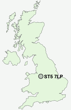
Postcode : ST5 7LP, Beasley, Staffordshire
Castle Street, Chesterton, Newcastle.
ST5 7LP close to Beasley, Chesterton, Broad Meadow, Bradwell, Crackley and Dimsdale.
Classification
ST5 7LP : Hard-pressed living / Industrious communities / Industrious transitions
Local Authority Newcastle-under-Lyme
Primary Care Trust North Staffordshire
Ward Holditch
Constituency Newcastle-under-Lyme
Region West Midlands
Country England
Postcode Area ST : Stoke on Trent
ST5 Postcode Sectors
ST5 4 Acton, Butterton, Northwood, Shelton under Harley, The Rowe
ST5 6 Apedale, Blank Bank, Finney Green, Knutton, Leycett
ST5 5 Baldwin's Gate, Blackbrook, Chapel Chorlton, Coombesdale, Hawthorns
ST5 1 Basford, Newcastle-under-Lyme
ST5 7 Beasley, Broad Meadow, Chesterton, Crackley
ST5 6 Apedale, Blank Bank, Finney Green, Knutton, Leycett
ST5 5 Baldwin's Gate, Blackbrook, Chapel Chorlton, Coombesdale, Hawthorns
ST5 1 Basford, Newcastle-under-Lyme
ST5 7 Beasley, Broad Meadow, Chesterton, Crackley
ST5 8 Bradwell, Dimsdale
ST5 2 Brampton, The
ST5 3 Clayton, Seabridge, Westlands
ST5 9 Cross Heath, May Bank
ST5 0 Porthill, Wolstanton
ST5 2 Brampton, The
ST5 3 Clayton, Seabridge, Westlands
ST5 9 Cross Heath, May Bank
ST5 0 Porthill, Wolstanton
ST5 7LP Nearby Postcode Districts
CW1 CW2 CW3 CW5 ST1 ST10 ST11 ST12 ST13 ST2 ST3 ST4 ST5 ST6 ST7 ST8 ST9
Stations near to ST5 7LP
Longport Rail Station about 1.47 miles away.Kidsgrove Rail Station about 3.28 miles away.
ST5 7LP Schools
Crackley Bank Primary SchoolBradwell Primary School
Bursley Primary School
Wood Lane Primary School
Hempstalls Primary School
UK Search
Antique Furniture
1000s of pieces of Antique Furniture for sale from British antique dealers.