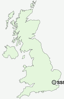
Postcode : SS5 6ND, Hullbridge, Essex
Ferry Road, Hullbridge, Hockley.
SS5 6ND close to Hullbridge and Brandy Hole.
Classification
SS5 6ND : Urbanites / Ageing urban living / Self-sufficient retirement
Local Authority Rochford
Primary Care Trust South East Essex
Ward Hullbridge
Constituency Rayleigh and Wickford
Region Eastern
Country England
Postcode Area SS : Southend on Sea
SS5 Postcode Sectors
SS5 6ND Nearby Postcode Districts
CM0 CM11 CM12 CM13 CM14 CM15 CM2 CM3 CM4 CM5 RM11 RM14 RM3 SS0 SS1 SS11 SS12 SS13 SS14 SS15 SS16 SS2 SS3 SS4 SS5 SS6 SS7 SS9
Stations near to SS5 6ND
South Woodham Ferrers Rail Station about 1.54 miles away.Battlesbridge Rail Station about 2.11 miles away.
Hockley Rail Station about 2.54 miles away.
Rayleigh Rail Station about 2.72 miles away.
SS5 6ND Schools
Riverside Infant SchoolRiverside Junior School
The Chetwood Primary School
Collingwood Primary School
William de Ferrers School
UK Search
Antique Furniture
1000s of pieces of Antique Furniture for sale from British antique dealers.