Postcode : SR6 7NS, Whitburn, Sunderland, Tyne And Wear
Whitburn, Sunderland, Tyne and Wear.
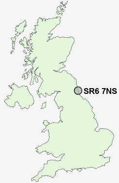
SR6 7NS close to Whitburn and South Bents.
Classification
SR6 7NS : Suburbanites / Semi-detached suburbia / Older workers and retirement
Local Authority South Tyneside
Primary Care Trust South Tyneside
Ward Whitburn and Marsden
Constituency South Shields
Region North East
Country England
Postcode Area SR : Sunderland
SR6 Postcode Sectors
SR6 7NS Nearby Postcode Districts
DH2 DH3 DH4 DH9 NE1 NE10 NE11 NE12 NE13 NE15 NE16 NE2 NE21 NE27 NE28 NE29 NE3 NE30 NE31 NE32 NE33 NE34 NE35 NE36 NE37 NE38 NE39 NE4 NE40 NE5 NE6 NE7 NE8 NE9 NE99 SR1 SR2 SR3 SR4 SR5 SR6 SR9
Stations near to SR6 7NS
Seaburn Rail Station about 1.49 miles away.East Boldon Rail Station about 1.86 miles away.
St Peters Rail Station about 2.68 miles away.
Sunderland Rail Station about 3.09 miles away.
SR6 7NS Schools
Marsden Primary SchoolSeaburn Dene Primary School
Monkwearmouth School
Fulwell Infant School
Fulwell Junior School
Redby Primary School
UK Search
Antique Furniture
1000s of pieces of Antique Furniture for sale from British antique dealers.