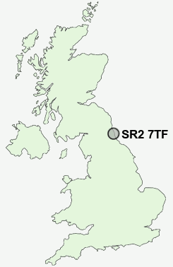
Postcode : SR2 7TF, Sunderland, Tyne And Wear
Sunderland, Tyne and Wear, England.
SR2 7TF close to Hendon, Grangetown, Hillview and Bishopwearmouth.
Classification
SR2 7TF : Urbanites / Ageing urban living / Communal retirement
Local Authority Sunderland
Primary Care Trust Sunderland Teaching
Ward St Michael's
Constituency Sunderland Central
Region North East
Country England
Postcode Area SR : Sunderland
SR2 Postcode Sectors
SR2 7TF Nearby Postcode Districts
DH2 DH3 DH4 DH5 DH9 NE1 NE10 NE11 NE15 NE16 NE2 NE21 NE31 NE32 NE34 NE35 NE36 NE37 NE38 NE39 NE4 NE40 NE6 NE8 NE9 NE99 SR1 SR2 SR3 SR4 SR5 SR6 SR7 SR9
Stations near to SR2 7TF
Sunderland Rail Station about 1.08 miles away.St Peters Rail Station about 1.51 miles away.
Seaburn Rail Station about 2.76 miles away.
SR2 7TF Schools
Hill View Infant SchoolHudson Road Primary School
Richard Avenue Primary School
Ryhope Junior School
Ryhope Infant School
Plains Farm Primary School
New Silksworth Junior School
New Silksworth Infant School
Dame Dorothy Primary School
UK Search
Antique Furniture
1000s of pieces of Antique Furniture for sale from British antique dealers.