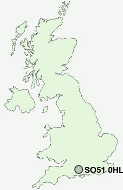
Postcode : SO51 0HL, Romsey, Hampshire
Awbridge, Romsey, Hampshire.
SO51 0HL close to Lower Ratley, Upper Ratley, Kents Oak, Shootash, Newtown and Awbridge.
Classification
SO51 0HL : Rural residents / Farming communities / Established farming communities
Local Authority Test Valley
Primary Care Trust Hampshire
Ward Blackwater
Constituency Romsey and Southampton North
Region South East
Country England
Postcode Area SO : Southampton
SO51 Postcode Sectors
SO51 9 Ampfield, Ashfield, Broadgate, Bucket Corner, Crampmoor
SO51 0 Awbridge, Belbins, Braishfield, Butt's Green, Carter's Clay
SO51 6 Blackhill, Canada, East Wellow, Newtown, Ower
SO51 0 Awbridge, Belbins, Braishfield, Butt's Green, Carter's Clay
SO51 6 Blackhill, Canada, East Wellow, Newtown, Ower
SO51 0HL Nearby Postcode Districts
SO15 SO16 SO17 SO18 SO21 SO22 SO23 SO24 SO30 SO32 SO40 SO50 SO51 SO52 SO53 SP1 SP2 SP5 SP6
Stations near to SO51 0HL
Mottisfont & Dunbridge Rail Station about 1.4 miles away.SO51 0HL Schools
Awbridge Primary SchoolLockerley Church of England Endowed Primary School
Hampshire Collegiate School
UK Search
Antique Furniture
1000s of pieces of Antique Furniture for sale from British antique dealers.