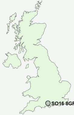
Postcode : SO16 8GF, Aldermoor, Southampton, Hampshire
Sinclair Road, Southampton.
SO16 8GF close to Aldermoor, Lord's Hill, Rownhams, Lordswood and Nursling.
Classification
SO16 8GF : Constrained city dwellers / Challenged diversity / Multi-ethnic hardship
Local Authority Southampton
Primary Care Trust Southampton City
Ward Coxford
Constituency Southampton, Test
Region South East
Country England
Postcode Area SO : Southampton
SO16 Postcode Sectors
SO16 5 Aldermoor
SO16 7 Bassett, Chilworth, Chilworth Old Village
SO16 3 Bassett Green, Hampton Park, Swaythling
SO16 6 Coxford, Lordswood, Old Shirley, Shirley Warren
SO16 7 Bassett, Chilworth, Chilworth Old Village
SO16 3 Bassett Green, Hampton Park, Swaythling
SO16 6 Coxford, Lordswood, Old Shirley, Shirley Warren
SO16 0 Hillyfields, Nursling
SO16 8 Lord's Hill, Rownhams, Upton
SO16 9 Maybush, Wimpson
SO16 4 Millbrook
SO16 8 Lord's Hill, Rownhams, Upton
SO16 9 Maybush, Wimpson
SO16 4 Millbrook
SO16 8GF Nearby Postcode Districts
PO15 PO16 PO17 PO6 SO14 SO15 SO16 SO17 SO18 SO19 SO30 SO31 SO32 SO40 SO43 SO45 SO50 SO51 SO52 SO53 SP5 SP6
Stations near to SO16 8GF
Redbridge (Hants) Rail Station about 2.11 miles away.Millbrook (Hants) Rail Station about 2.41 miles away.
Totton Rail Station about 2.54 miles away.
Southampton Central Rail Station about 2.96 miles away.
Romsey Rail Station about 3.87 miles away.
SO16 8GF Schools
Sinclair Primary and Nursery SchoolFairisle Infant and Nursery School
Fairisle Junior School
Shirley Warren Primary & Nursery School
Mansel Park Primary School
Wordsworth Infant School
Regents Park Community College
Mason Moor Primary School
Redbridge Primary School
Foundry Lane Primary School
Redbridge Community School
UK Search
Antique Furniture
1000s of pieces of Antique Furniture for sale from British antique dealers.