Postcode : SO14 0WZ, Southampton, Hampshire
Southampton.
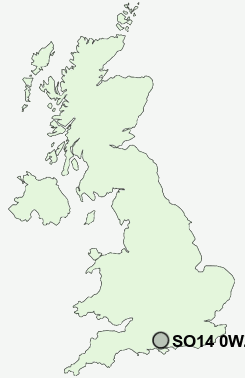
SO14 0WZ close to Southampton and Northam.
Classification
SO14 0WZ : Multicultural metropolitans / Challenged Asian terraces / Asian terraces and flats
Local Authority Southampton
Primary Care Trust Southampton City
Ward Bevois
Constituency Southampton, Test
Region South East
Country England
Postcode Area SO : Southampton
SO14 Postcode Sectors
SO14 0WZ Nearby Postcode Districts
BH24 PO14 PO15 PO16 PO17 PO2 PO3 PO6 PO7 PO8 SO14 SO15 SO16 SO17 SO18 SO19 SO30 SO31 SO32 SO40 SO43 SO45 SO50 SO51 SO52 SO53
Stations near to SO14 0WZ
St Denys Rail Station about 0.56 miles away.Bitterne Rail Station about 0.77 miles away.
Southampton Central Rail Station about 1.01 miles away.
Southampton Town Quay about 1.48 miles away.
Millbrook (Hants) Rail Station about 1.76 miles away.
Sholing Rail Station about 1.79 miles away.
Swaythling Rail Station about 1.95 miles away.
Southampton Airport Parkway Rail Station about 2.81 miles away.
SO14 0WZ Schools
Beechwood Junior SchoolBitterne Park School
The Sholing Technology College
Cantell School
Wordsworth Infant School
Hollybrook Junior School
Hollybrook Infant School
Townhill Infant School
UK Search
Antique Furniture
1000s of pieces of Antique Furniture for sale from British antique dealers.