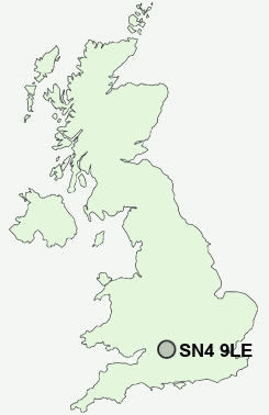
Postcode : SN4 9LE, Wroughton, Swindon, Wiltshire
Wharf Road, Wroughton, Swindon.
SN4 9LE close to Wroughton, Elcombe and North Wroughton.
Classification
SN4 9LE : Urbanites / Ageing urban living / Self-sufficient retirement
Local Authority Swindon
Primary Care Trust Swindon
Ward Wroughton and Wichelstowe
Constituency South Swindon
Region South West
Country England
Postcode Area SN : Swindon
SN4 Postcode Sectors
SN4 0 Badbury, Badbury Wick, Chiseldon, Covingham, Draycot Foliat
SN4 8 Ballard's Ash, Coped Hall, Greatfield, Green Hill, Hook
SN4 8 Ballard's Ash, Coped Hall, Greatfield, Green Hill, Hook
SN4 9 Berwick Bassett, Broad Hinton, Elcombe, Elm Cross, North Wroughton
SN4 7 Broad Town, Bushton, Clyffe Pypard, Cotmarsh, The Barton
SN4 7 Broad Town, Bushton, Clyffe Pypard, Cotmarsh, The Barton
SN4 9LE Nearby Postcode Districts
OX12 RG17 SN1 SN11 SN14 SN15 SN16 SN2 SN25 SN26 SN3 SN4 SN5 SN6
Stations near to SN4 9LE
Swindon Rail Station about 2.89 miles away.SN4 9LE Schools
Wroughton Infant SchoolThe Ridgeway School
Wroughton Junior School
UK Search
Antique Furniture
1000s of pieces of Antique Furniture for sale from British antique dealers.