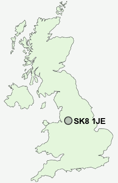
Postcode : SK8 1JE, Cheadle, Stockport, Greater Manchester
Schools Hill, Cheadle.
Classification
SK8 1JE : Suburbanites / Suburban achievers / Indian tech achievers
Local Authority Stockport
Primary Care Trust Stockport
Ward Cheadle and Gatley
Constituency Cheadle
Region North West
Country England
Postcode Area SK : Stockport
SK8 Postcode Sectors
SK8 1JE Nearby Postcode Districts
M1 M11 M12 M13 M14 M15 M16 M17 M18 M19 M2 M20 M21 M22 M23 M3 M31 M32 M33 M34 M41 M43 M44 M5 M90 SK1 SK12 SK13 SK14 SK16 SK2 SK22 SK23 SK3 SK4 SK5 SK6 SK7 SK8 SK9 WA1 WA13 WA14 WA15 WA16 WA2 WA3 WA4
Stations near to SK8 1JE
Gatley Rail Station about 0.96 miles away.Cheadle Hulme Rail Station about 1.19 miles away.
Heald Green Rail Station about 1.35 miles away.
East Didsbury Rail Station about 1.81 miles away.
Handforth Rail Station about 2.56 miles away.
Burnage Rail Station about 2.6 miles away.
Heaton Chapel Rail Station about 3.24 miles away.
Mauldeth Road Rail Station about 3.43 miles away.
SK8 1JE Schools
Lum Head Primary SchoolCheadle Primary School
Etchells Primary School
Gatley Primary School
Lane End Primary School
Outwood Primary School
Stockport Academy
Stockport Academy
UK Search
Antique Furniture
1000s of pieces of Antique Furniture for sale from British antique dealers.