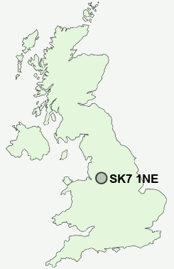
Postcode : SK7 1NE, Bramhall, Stockport, Greater Manchester
Albany Road, Bramhall, Stockport.
SK7 1NE close to Hazel Grove, Kitt's Moss and Woodford.
Classification
SK7 1NE : Suburbanites / Suburban achievers / Indian tech achievers
Local Authority Stockport
Primary Care Trust Stockport
Ward Bramhall South and Woodford
Constituency Cheadle
Region North West
Country England
Postcode Area SK : Stockport
SK7 Postcode Sectors
SK7 1 Bramhall, Kitt's Moss, Woodford
SK7 5 Bramhall Moor, Norbury Moor
SK7 3 Bramhall Park, Davenport
SK7 5 Bramhall Moor, Norbury Moor
SK7 3 Bramhall Park, Davenport
SK7 1NE Nearby Postcode Districts
CW9 M14 M19 M20 M21 M22 M23 M31 M32 M33 M41 M44 M90 SK1 SK10 SK12 SK13 SK14 SK2 SK22 SK23 SK3 SK4 SK5 SK6 SK7 SK8 SK9 WA13 WA14 WA15 WA16
Stations near to SK7 1NE
Bramhall Rail Station about 0.68 miles away.Poynton Rail Station about 1.03 miles away.
Cheadle Hulme Rail Station about 2.09 miles away.
Hazel Grove Rail Station about 2.39 miles away.
Adlington (Cheshire) Rail Station about 2.42 miles away.
Woodsmoor Rail Station about 2.55 miles away.
Davenport Rail Station about 2.76 miles away.
SK7 1NE Schools
Lostock Hall Primary SchoolMoss Hey Primary School
Pownall Green Primary School
Ladybrook Primary School
Hursthead Infant School
Hursthead Junior School
Lower Park School
Moorfield Primary School
Lane End Primary School
UK Search
Antique Furniture
1000s of pieces of Antique Furniture for sale from British antique dealers.