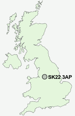
Postcode : SK22 3AP, New Mills, Derbyshire
Lower Hague, New Mills, High Peak.
SK22 3AP close to Hague Bar, Brook Bottom and Newtown.
Classification
SK22 3AP : Rural residents / Rural tenants / Rural white-collar workers
Local Authority High Peak
Primary Care Trust Derbyshire County
Ward New Mills West
Constituency High Peak
Region East Midlands
Country England
Postcode Area SK : Stockport
SK22 Postcode Sectors
SK22 1 Birch Vale, Cliff, Rowarth, Thornsett
SK22 3 Brook Bottom, Hague Bar, New Mills, Newtown, The Banks
SK22 3 Brook Bottom, Hague Bar, New Mills, Newtown, The Banks
SK22 3AP Nearby Postcode Districts
M12 M13 M14 M15 M16 M18 M19 M20 M21 M22 M23 M31 M32 M33 M34 M41 M44 M90 S32 S33 SK1 SK10 SK12 SK13 SK14 SK2 SK22 SK23 SK3 SK4 SK5 SK6 SK7 SK8 SK9 WA14 WA15 WA16
Stations near to SK22 3AP
Strines Rail Station about 0.57 miles away.New Mills Central Rail Station about 0.91 miles away.
Disley Rail Station about 0.92 miles away.
New Mills Newtown Rail Station about 0.96 miles away.
Furness Vale Rail Station about 2.06 miles away.
Marple Rail Station about 2.58 miles away.
Rose Hill Marple Rail Station about 2.82 miles away.
Whaley Bridge Rail Station about 3.14 miles away.
SK22 3AP Schools
Hague Bar Primary SchoolDisley Primary School
Newtown Primary School
St Mary's Catholic Primary
New Mills Primary School
New Mills School & Sixth Form
St George's CofE Primary School (VA)
Mellor Primary School
UK Search
Antique Furniture
1000s of pieces of Antique Furniture for sale from British antique dealers.