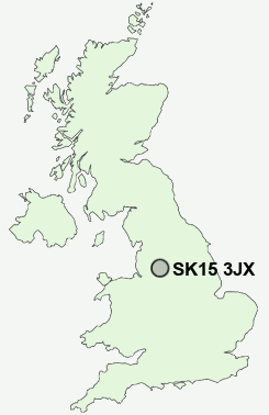
Postcode : SK15 3JX, Stalybridge, Tameside, Greater Manchester
Bank Road, Carrbrook, Stalybridge.
SK15 3JX close to Buckton Vale, Millbrook, Sun Green, Carrbrook, Heyheads and Brushes.
Classification
SK15 3JX : Hard-pressed living / Migration and churn / Young hard-pressed families
Local Authority Tameside
Primary Care Trust Tameside and Glossop
Ward Stalybridge North
Constituency Stalybridge and Hyde
Region North West
Country England
Postcode Area SK : Stockport
SK15 Postcode Sectors
SK15 3 Brushes, Buckton Vale, Carrbrook, Heyheads, Heyrod
SK15 2 Copley, Fern Bank, Matley, Roe Cross, Woodlands
SK15 2 Copley, Fern Bank, Matley, Roe Cross, Woodlands
SK15 3JX Nearby Postcode Districts
BL2 BL4 BL9 HD9 M1 M11 M12 M13 M14 M15 M16 M17 M18 M19 M2 M20 M21 M24 M25 M26 M27 M28 M3 M30 M31 M32 M33 M34 M35 M38 M4 M40 M41 M43 M44 M45 M5 M6 M60 M7 M8 M9 OL1 OL10 OL2 OL3 OL4 OL5 OL6 OL7 OL8 OL9 SK1 SK13 SK14 SK15 SK16 SK4 SK5 SK6
Stations near to SK15 3JX
Mossley (Manchester) Rail Station about 1.17 miles away.Stalybridge Rail Station about 1.81 miles away.
Greenfield Rail Station about 2.73 miles away.
Newton for Hyde Rail Station about 3.44 miles away.
Godley Rail Station about 3.53 miles away.
SK15 3JX Schools
Buckton Vale Primary SchoolCopley High School
Livingstone Primary School
Arlies Primary School
Mossley Hollins High School
Ridge Hill Primary School and Nursery
Stalyhill Junior School
Gorse Hall Primary and Nursery School
UK Search
Antique Furniture
1000s of pieces of Antique Furniture for sale from British antique dealers.