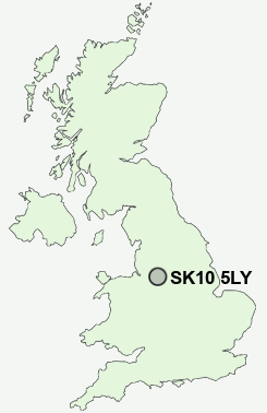
Postcode : SK10 5LY, Bollington, Cheshire East, Cheshire
Grimshaw Lane, Bollington, Macclesfield.
SK10 5LY close to Bollington, Kerridge, Bollington Cross, Lowerhouse and Whiteley Green.
Classification
SK10 5LY : Suburbanites / Semi-detached suburbia / White suburban communities
Local Authority Cheshire East
Primary Care Trust Central and Eastern Cheshire
Ward Bollington
Constituency Macclesfield
Region North West
Country England
Postcode Area SK : Stockport
SK10 Postcode Sectors
SK10 4 Adlington, Astle, Booth Green, Bradley Mount, Butley Town
SK10 5 Bollington, Bollington Cross, Brookhouse, Clark Green, Ginclough
SK10 5 Bollington, Bollington Cross, Brookhouse, Clark Green, Ginclough
SK10 5LY Nearby Postcode Districts
CW4 M22 M90 S33 SK10 SK11 SK12 SK17 SK22 SK23 SK7 SK8 SK9 WA13 WA14 WA15 WA16
Stations near to SK10 5LY
Prestbury Rail Station about 1.85 miles away.Adlington (Cheshire) Rail Station about 2.27 miles away.
Macclesfield Rail Station about 2.5 miles away.
SK10 5LY Schools
Bollington St John's CofE Primary SchoolDean Valley Community Primary School
Pott Shrigley Church School
Rainow Primary School
The Marlborough Primary School
Hurdsfield Community Primary School
Adlington Primary School
UK Search
Antique Furniture
1000s of pieces of Antique Furniture for sale from British antique dealers.