Postcode : SG9 0QS, Sandon, Hertfordshire
Sandon, Buntingford, Hertfordshire.
SG9 0QS close to Sandon, Green End and Roe Green.
Classification
SG9 0QS : Rural residents / Rural tenants / Rural white-collar workers
Local Authority North Hertfordshire
Primary Care Trust Hertfordshire
Ward Weston and Sandon
Constituency North East Hertfordshire
Region Eastern
Country England
Postcode Area SG : Stevenage
SG9 Postcode Sectors
SG9 0QS Nearby Postcode Districts
CB10 CB11 CM24 LU2 LU3 LU4 MK45 SG1 SG15 SG16 SG17 SG18 SG2 SG4 SG5 SG6 SG7 SG8 SG9
Stations near to SG9 0QS
Ashwell & Morden Rail Station about 3 miles away.SG9 0QS Schools
Sandon Junior Mixed and Infant School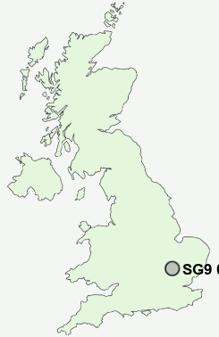
UK Search
Antique Furniture
1000s of pieces of Antique Furniture for sale from British antique dealers.