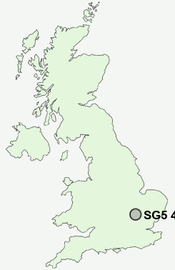
Postcode : SG5 4DL, Stotfold, Hertfordshire, Bedfordshire
Rook Tree Lane, Stotfold, Hitchin.
SG5 4DL close to Stotfold and Radwell.
Classification
SG5 4DL : Suburbanites / Semi-detached suburbia / Older workers and retirement
Local Authority Central Bedfordshire
Primary Care Trust Bedfordshire
Ward Stotfold and Langford
Constituency North East Bedfordshire
Region Eastern
Country England
Postcode Area SG : Stevenage
SG5 Postcode Sectors
SG5 4DL Nearby Postcode Districts
MK45 SG15 SG16 SG17 SG18 SG4 SG5 SG6 SG7 SG8 SG9
Stations near to SG5 4DL
Arlesey Rail Station about 1.95 miles away.Baldock Rail Station about 2.22 miles away.
Letchworth Rail Station about 2.53 miles away.
SG5 4DL Schools
Roecroft Lower SchoolEtonbury Middle School
Grange Junior School
Northfields Infants and Nursery School
Stonehill School
Fairfield Park Lower School
Norton St Nicholas CofE (VA) Primary School
UK Search
Antique Furniture
1000s of pieces of Antique Furniture for sale from British antique dealers.