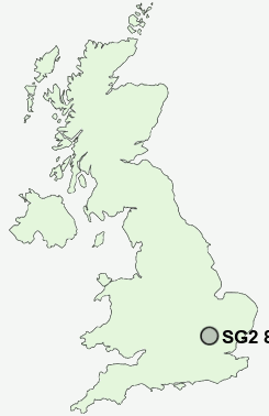
Postcode : SG2 8AX, Broadwater, Hertfordshire
Burydale, Stevenage.
SG2 8AX close to Broadwater, Bragbury End, Shephall and Poplars.
Classification
SG2 8AX : Hard-pressed living / Migration and churn / Hard-pressed ethnic mix
Local Authority Stevenage
Primary Care Trust Hertfordshire
Ward Roebuck
Constituency Stevenage
Region Eastern
Country England
Postcode Area SG : Stevenage
SG2 Postcode Sectors
SG2 8AX Nearby Postcode Districts
AL5 AL6 AL7 AL8 CM21 CM22 CM23 CM24 LU1 LU2 LU3 LU4 LU5 LU6 SG1 SG10 SG11 SG12 SG13 SG14 SG2 SG3 SG4 SG5 SG6 SG9
Stations near to SG2 8AX
Knebworth Rail Station about 1.21 miles away.Stevenage Rail Station about 1.85 miles away.
SG2 8AX Schools
Longmeadow Primary SchoolBarnwell School
Ashtree Primary School and Nursery
Marriotts School
UK Search
Antique Furniture
1000s of pieces of Antique Furniture for sale from British antique dealers.