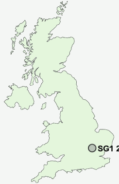
Postcode : SG1 2NU, Biggleswade, Central Bedfordshire, Bedfordshire
Stevenage, Hertfordshire.
SG1 2NU close to Ware, Symonds Green, Old Town, Norton Green, Fishers Green and Todd's Green.
Classification
SG1 2NU : Urbanites / Urban professionals and families / Multi-ethnic professionals with families
Local Authority Stevenage
Primary Care Trust Hertfordshire
Ward Symonds Green
Constituency Stevenage
Region Eastern
Country England
Postcode Area SG : Stevenage
SG1 Postcode Sectors
SG1 1 Bedwell, Stevenage
SG1 4 Fishers Green, St Nicholas, Todd's Green
SG1 2 Norton Green, Symonds Green
SG1 4 Fishers Green, St Nicholas, Todd's Green
SG1 2 Norton Green, Symonds Green
SG1 2NU Nearby Postcode Districts
AL5 AL6 CM21 CM23 LU1 LU2 LU3 LU4 LU5 LU6 SG1 SG10 SG11 SG12 SG2 SG3 SG4 SG5 SG6 SG7 SG9
Stations near to SG1 2NU
Stevenage Rail Station about 0.63 miles away.Knebworth Rail Station about 3.17 miles away.
Hitchin Rail Station about 3.67 miles away.
SG1 2NU Schools
Woolenwick Junior SchoolWoolenwick Infant and Nursery School
The Thomas Alleyne School
Barclay School
Trotts Hill Primary and Nursery School
Moss Bury Primary School and Nursery
Giles Junior School
The Giles Infant and Nursery School
Marriotts School
UK Search
Antique Furniture
1000s of pieces of Antique Furniture for sale from British antique dealers.