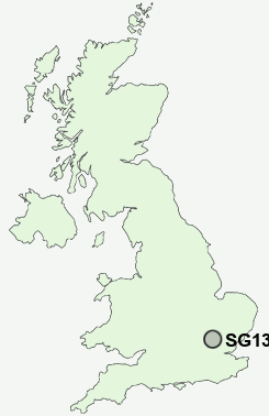
Postcode : SG13 7QW, Hertford Heath, Hertford, Hertfordshire
Woodland Road, Hertford Heath, Hertford.
Classification
SG13 7QW : Rural residents / Rural tenants / Rural life
Local Authority East Hertfordshire
Primary Care Trust Hertfordshire
Ward Hertford Heath
Constituency Hertford and Stortford
Region Eastern
Country England
Postcode Area SG : Stevenage
SG13 Postcode Sectors
SG13 7QW Nearby Postcode Districts
AL1 AL10 AL2 AL3 AL4 AL5 AL6 AL7 AL8 AL9 CM16 CM17 CM18 CM19 CM20 CM21 CM22 CM23 CM5 EN10 EN11 EN6 EN7 EN8 EN9 LU1 SG10 SG11 SG12 SG13 SG14 SG3 WD5 WD7
Stations near to SG13 7QW
Hertford East Rail Station about 1.55 miles away.Ware Rail Station about 1.68 miles away.
St Margarets (Herts) Rail Station about 1.94 miles away.
Hertford North Rail Station about 2.24 miles away.
Rye House Rail Station about 2.4 miles away.
Broxbourne Rail Station about 3.01 miles away.
SG13 7QW Schools
Wheatcroft Primary SchoolSimon Balle School
Roselands Primary School
Presdales School
Richard Hale School
Morgans Primary School & Nursery
The Cranbourne Primary School
UK Search
Antique Furniture
1000s of pieces of Antique Furniture for sale from British antique dealers.