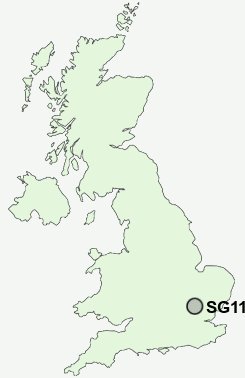
Postcode : SG11 1AZ, High Cross, Hertfordshire
High Road, High Cross, Ware.
SG11 1AZ close to High Cross and Standon Green End.
Classification
SG11 1AZ : Hard-pressed living / Industrious communities / Industrious transitions
Local Authority East Hertfordshire
Primary Care Trust Hertfordshire
Ward Thundridge & Standon
Constituency North East Hertfordshire
Region Eastern
Country England
Postcode Area SG : Stevenage
SG11 Postcode Sectors
SG11 1AZ Nearby Postcode Districts
AL10 AL3 AL4 AL5 AL6 AL7 AL8 CM17 CM18 CM19 CM20 CM21 CM22 CM23 CM24 CM6 EN11 LU2 SG1 SG10 SG11 SG12 SG13 SG14 SG2 SG3 SG4 SG9
Stations near to SG11 1AZ
Ware Rail Station about 2.9 miles away.SG11 1AZ Schools
Puller Memorial, Church of England, Voluntary Aided Primary SchoolThundridge Church of England Primary School
UK Search
Antique Furniture
1000s of pieces of Antique Furniture for sale from British antique dealers.