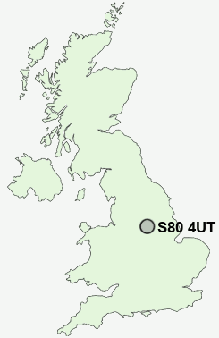
Postcode : S80 4UT, Hodthorpe, Nottinghamshire, Derbyshire
Hodthorpe, Worksop, Derbyshire.
S80 4UT close to Hodthorpe, Belph, Penny Green, Bakestone Moor and Whitwell.
Classification
S80 4UT : Hard-pressed living / Hard pressed ageing workers / Ageing rural industry workers
Local Authority Bolsover
Primary Care Trust Derbyshire County
Ward Elmton-with-Creswell
Constituency Bolsover
Region East Midlands
Country England
Postcode Area S : Sheffield
S80 Postcode Sectors
S80 4 Bakestone Moor, Creswell, Elmton, Hodthorpe, Model Village
S80 3 Belph, Carburton, Darfoulds, Hardwick Village, Holbeck
S80 3 Belph, Carburton, Darfoulds, Hardwick Village, Holbeck
S80 4UT Nearby Postcode Districts
DN22 NG20 S1 S10 S11 S12 S13 S14 S17 S18 S2 S20 S21 S25 S26 S40 S41 S42 S43 S44 S7 S8 S80 S81
Stations near to S80 4UT
Whitwell (Derbys) Rail Station about 0.46 miles away.Creswell (Derbys) Rail Station about 1.68 miles away.
Shireoaks Rail Station about 3.05 miles away.
S80 4UT Schools
Hodthorpe Primary SchoolPortland School
Whitwell Primary School
Creswell CofE Controlled Infant and Nursery
Creswell Junior School
UK Search
Antique Furniture
1000s of pieces of Antique Furniture for sale from British antique dealers.