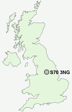
Postcode : S70 3NG, Worsbrough, Barnsley, South Yorkshire
Thornton Road, Barnsley.
S70 3NG close to Kendray, Measborough Dike and Swaithe.
Classification
S70 3NG : Hard-pressed living / Migration and churn / Hard-pressed ethnic mix
Local Authority Barnsley
Primary Care Trust Barnsley
Ward Stairfoot
Constituency Barnsley East
Region Yorkshire and The Humber
Country England
Postcode Area S : Sheffield
S70 Postcode Sectors
S70 2 Barnsley
S70 5 Birdwell, Worsbrough, Worsbrough Bridge
S70 6 Gilroyd, Kingstone, Ward Green, Worsbrough Common
S70 5 Birdwell, Worsbrough, Worsbrough Bridge
S70 6 Gilroyd, Kingstone, Ward Green, Worsbrough Common
S70 3NG Nearby Postcode Districts
DN1 DN11 DN12 DN2 DN3 DN4 DN5 DN6 HD4 HD8 HD9 S35 S36 S61 S62 S63 S64 S70 S71 S72 S73 S74 S75 WF9
Stations near to S70 3NG
Barnsley Rail Station about 1.23 miles away.Wombwell Rail Station about 2.35 miles away.
Elsecar Rail Station about 3.21 miles away.
S70 3NG Schools
Kendray Primary SchoolBarnsley Academy
Barnsley Academy
Hunningley Primary School
Littleworth Grange Primary Learning Centre
Priory School and Sports College
Shawlands Primary School
Joseph Locke Primary School
UK Search
Antique Furniture
1000s of pieces of Antique Furniture for sale from British antique dealers.