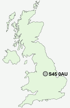
Postcode : S45 0AU, Clay Cross, Derbyshire
Ashover, Chesterfield, Derbyshire.
S45 0AU close to Ashover, Hilltop, Farhill, Fallgate, Kelstedge and West Edge.
Classification
S45 0AU : Rural residents / Ageing rural dwellers / Detached rural retirement
Local Authority North East Derbyshire
Primary Care Trust Derbyshire County
Ward Ashover
Constituency North East Derbyshire
Region East Midlands
Country England
Postcode Area S : Sheffield
S45 Postcode Sectors
S45 0 Ashover, Ashover Hay, Brockhurst, Butterley, Fallgate
S45 8 Astwith, Common End, Hardstoft, Hardstoft Common, Lower Pilsley
S45 8 Astwith, Common End, Hardstoft, Hardstoft Common, Lower Pilsley
S45 0AU Nearby Postcode Districts
DE4 DE45 DE55 NG17 NG18 NG19 NG20 NG21 S40 S41 S42 S44 S45 SK17
S45 0AU Schools
Ashover Primary SchoolStretton Handley Church of England Primary School
UK Search
Antique Furniture
1000s of pieces of Antique Furniture for sale from British antique dealers.