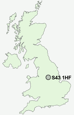
Postcode : S43 1HF, Staveley, Derbyshire
Spring Vale Road, Brimington, Chesterfield.
S43 1HF close to Brimington, New Brimington, Brimington Common, Hollingwood and New Whittington.
Classification
S43 1HF : Hard-pressed living / Industrious communities / Industrious hardship
Local Authority Chesterfield
Primary Care Trust Derbyshire County
Ward Brimington North
Constituency Chesterfield
Region East Midlands
Country England
Postcode Area S : Sheffield
S43 Postcode Sectors
S43 1 Brimington, Brimington Common, New Brimington
S43 3 Inkersall, Inkersall Green, Mastin Moor, Middlecroft, Netherthorpe
S43 3 Inkersall, Inkersall Green, Mastin Moor, Middlecroft, Netherthorpe
S43 1HF Nearby Postcode Districts
DE45 NG20 S11 S12 S14 S17 S18 S20 S21 S26 S32 S33 S40 S41 S42 S43 S44 S45 S7 S8 S80 S81
Stations near to S43 1HF
Chesterfield Rail Station about 1.77 miles away.S43 1HF Schools
Hollingwood Primary SchoolWhittington Green School
Gilbert Heathcote Nursery and Infant School
Mary Swanwick Community Primary School
Cavendish Junior School
Inkersall Primary School
Springwell Community College
Newbold Community School
UK Search
Antique Furniture
1000s of pieces of Antique Furniture for sale from British antique dealers.