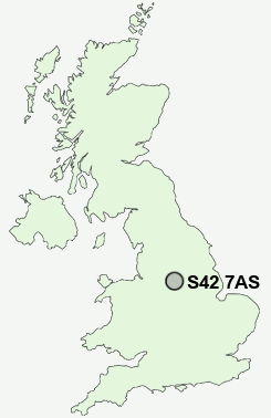
Postcode : S42 7AS, Cutthorpe, Derbyshire
Cutthorpe, Chesterfield, Derbyshire.
S42 7AS close to Cutthorpe and Oxton Rakes.
Classification
S42 7AS : Rural residents / Rural tenants / Rural life
Local Authority North East Derbyshire
Primary Care Trust Derbyshire County
Ward Brampton and Walton
Constituency North East Derbyshire
Region East Midlands
Country England
Postcode Area S : Sheffield
S42 Postcode Sectors
S42 6 Alton, Nether Moor, Northedge, Old Tupton, Press
S42 5 Corbriggs, Grassmoor, Hepthorne Lane, Highfields, Holmewood
S42 5 Corbriggs, Grassmoor, Hepthorne Lane, Highfields, Holmewood
S42 7AS Nearby Postcode Districts
DE45 NG19 NG20 S12 S14 S17 S18 S20 S21 S32 S33 S40 S41 S42 S43 S44 S45 S7 S8 S80 S81 SK17
Stations near to S42 7AS
Dronfield Rail Station about 3.33 miles away.S42 7AS Schools
Cutthorpe Primary SchoolBarlow CofE Primary School
Holme Hall Primary School
St Mary's Catholic High School
Wigley Primary School
Brookfield Community School
UK Search
Antique Furniture
1000s of pieces of Antique Furniture for sale from British antique dealers.