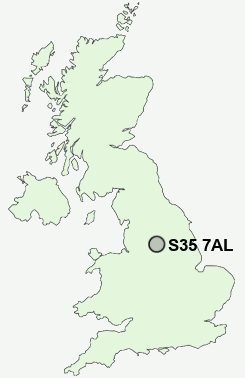
Postcode : S35 7AL, Thurgoland, Sheffield, South Yorkshire
Thurgoland, Sheffield, South Yorkshire.
S35 7AL close to Thurgoland, Sim Hill, Eastfield, Pinfold Hill and Green Moor.
Classification
S35 7AL : Hard-pressed living / Industrious communities / Industrious transitions
Local Authority Barnsley
Primary Care Trust Barnsley
Ward Penistone East
Constituency Penistone and Stocksbridge
Region Yorkshire and The Humber
Country England
Postcode Area S : Sheffield
S35 Postcode Sectors
S35 8 Barnes Hall, Grenoside, Whitley, Wood Seats
S35 0 Brightholmlee, Foldrings, Middlewood, Onesacre, Oughtibridge
S35 7 Bromley, Crane Moor, Cundy Hos, Eastfield, Finkle Street
S35 2 Burncross, Chapeltown, Charltonbrook, Hood Hill, Lane End
S35 0 Brightholmlee, Foldrings, Middlewood, Onesacre, Oughtibridge
S35 7 Bromley, Crane Moor, Cundy Hos, Eastfield, Finkle Street
S35 2 Burncross, Chapeltown, Charltonbrook, Hood Hill, Lane End
S35 7AL Nearby Postcode Districts
DN12 DN5 DN6 HD8 HD9 S35 S36 S5 S60 S61 S62 S63 S64 S65 S66 S70 S71 S72 S73 S74 S75 SK13
Stations near to S35 7AL
Silkstone Common Rail Station about 2.01 miles away.Dodworth Rail Station about 3.02 miles away.
S35 7AL Schools
Thurgoland Church of England (Voluntary Controlled) Primary SchoolOxspring Primary School
UK Search
Antique Furniture
1000s of pieces of Antique Furniture for sale from British antique dealers.