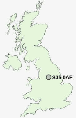
Postcode : S35 0AE, Worrall, Sheffield, South Yorkshire
Kirk Edge Road, Worrall, Sheffield.
S35 0AE close to Worrall, Middlewood and Oughtibridge.
Classification
S35 0AE : Suburbanites / Suburban achievers / Ageing in suburbia
Local Authority Sheffield
Primary Care Trust Sheffield
Ward Stannington
Constituency Sheffield, Hallam
Region Yorkshire and The Humber
Country England
Postcode Area S : Sheffield
S35 Postcode Sectors
S35 8 Barnes Hall, Grenoside, Whitley, Wood Seats
S35 0 Brightholmlee, Foldrings, Middlewood, Onesacre, Oughtibridge
S35 7 Bromley, Crane Moor, Cundy Hos, Eastfield, Finkle Street
S35 2 Burncross, Chapeltown, Charltonbrook, Hood Hill, Lane End
S35 0 Brightholmlee, Foldrings, Middlewood, Onesacre, Oughtibridge
S35 7 Bromley, Crane Moor, Cundy Hos, Eastfield, Finkle Street
S35 2 Burncross, Chapeltown, Charltonbrook, Hood Hill, Lane End
S35 0AE Nearby Postcode Districts
DN12 S1 S10 S11 S12 S13 S14 S2 S20 S25 S26 S3 S33 S35 S36 S4 S5 S6 S60 S61 S62 S63 S64 S65 S66 S7 S74 S8 S9
S35 0AE Schools
Bradfield SchoolOughtibridge Primary School
Loxley Primary School
Wisewood Community Primary School
Wisewood School and Community Sports College
Marlcliffe Community Primary School
Bradfield Dungworth Primary School
Wharncliffe Side Primary School
UK Search
Antique Furniture
1000s of pieces of Antique Furniture for sale from British antique dealers.