Postcode : S33 0AR, Bamford, Derbyshire
Bamford, Hope Valley, Derbyshire.
S33 0AR close to Bamford and Thornhill.
Classification
S33 0AR : Rural residents / Rural tenants / Rural white-collar workers
Local Authority High Peak
Primary Care Trust Derbyshire County
Ward Hope Valley
Constituency High Peak
Region East Midlands
Country England
Postcode Area S : Sheffield
S33 Postcode Sectors
S33 0 Ashopton, Bamford, Shatton, Thornhill
S33 6 Aston, Edale End, Hope
S33 7 Barber Booth, Edale, Grindsbrook Booth, Nether Booth, Ollerbrook Booth
S33 6 Aston, Edale End, Hope
S33 7 Barber Booth, Edale, Grindsbrook Booth, Nether Booth, Ollerbrook Booth
S33 0AR Nearby Postcode Districts
S1 S10 S11 S12 S13 S14 S17 S18 S2 S20 S21 S3 S32 S33 S4 S43 S5 S6 S60 S61 S65 S7 S8 S9 SK13 SK22 SK23 SK6
Stations near to S33 0AR
Bamford Rail Station about 0.67 miles away.Hope (Derbyshire) Rail Station about 1.72 miles away.
Hathersage Rail Station about 2.19 miles away.
S33 0AR Schools
Bamford Primary School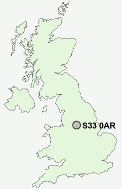
UK Search
Antique Furniture
1000s of pieces of Antique Furniture for sale from British antique dealers.